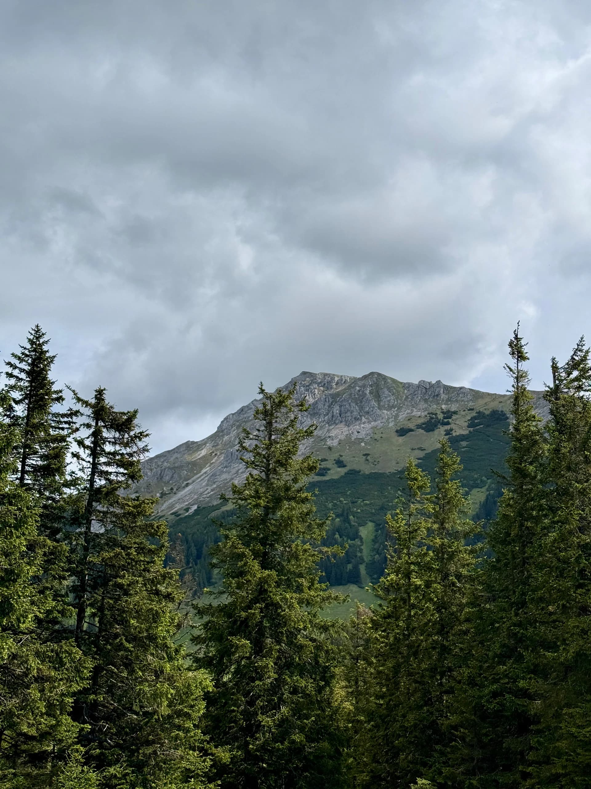
Hike · Mürzsteg Alps, Austria
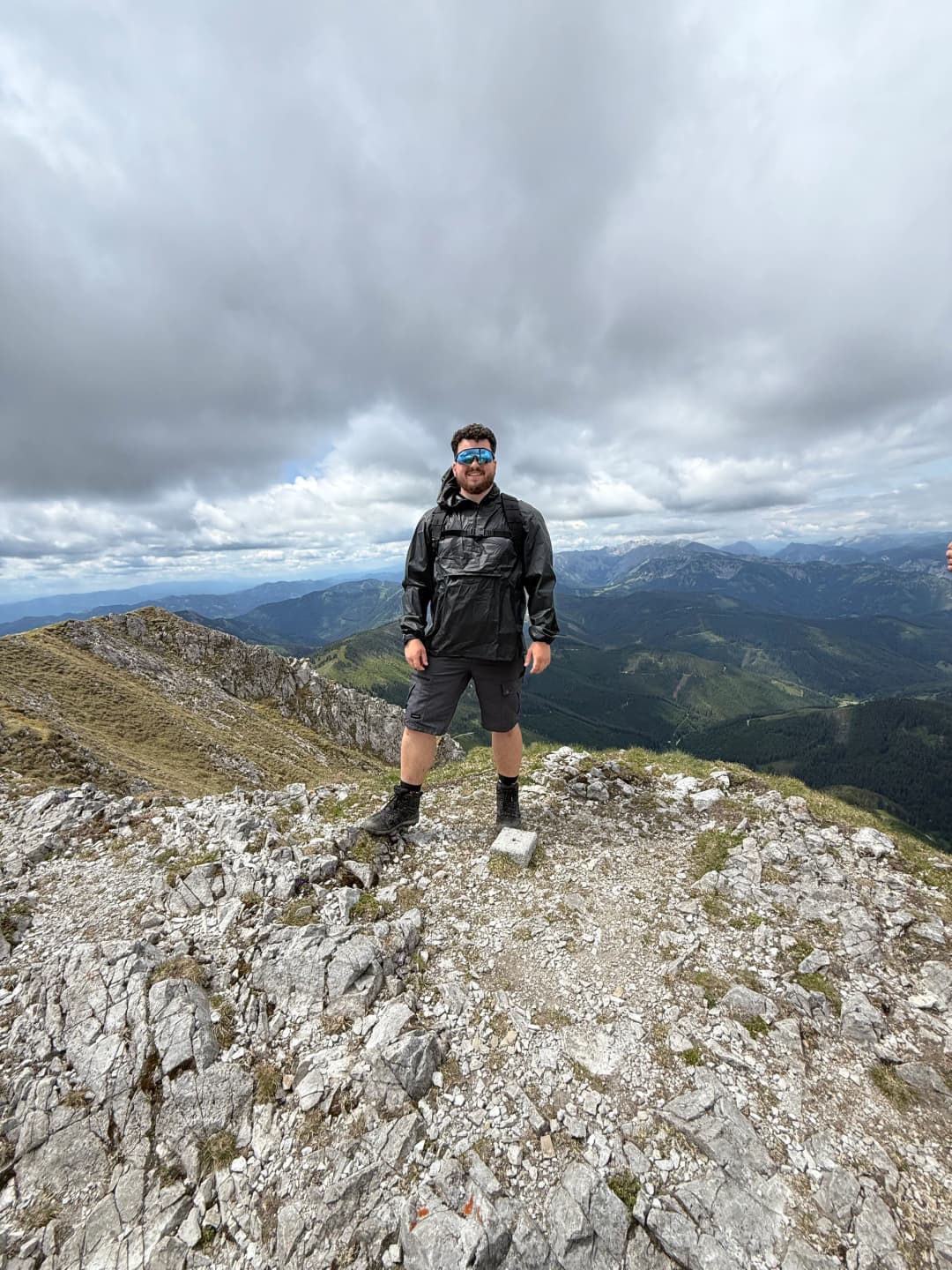
Hohe Veitsch
Together with friends.
GPS route · start to finish
47.6321, 15.4242
Loading route map
Start Finish↑ Direction
Elevation profile
Brunnalmstrassehigh point 1,981 m10.9 km round
- Date
- 7 Jun 2026
- Distance
- 10.9 km
- Ascent
- +859 m
- Time on foot
- 7.22 h
Grade
Not graded
Conditions
Clear
With
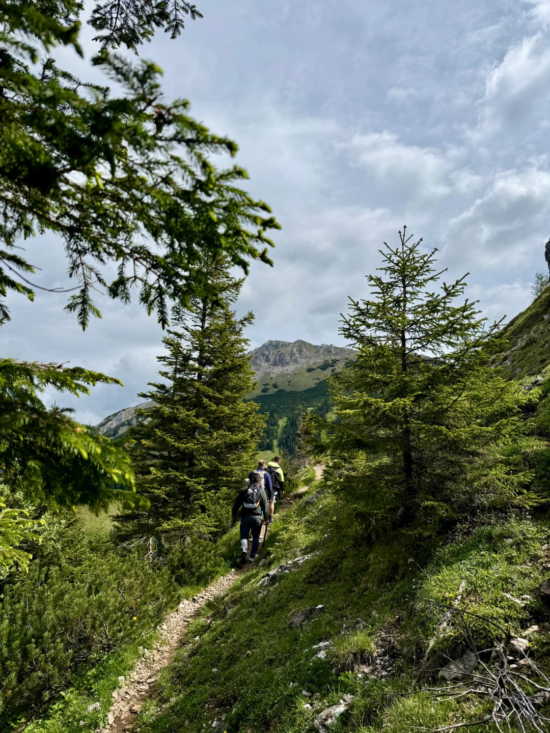
With Ardi, Selim and Bledi
The write-up
We hyped the hikes so much our friends started to join.
So we continued for the next mountain. This one was a relatively easy with one part that was steep towards the peak.
Overall experience and mood was very good.
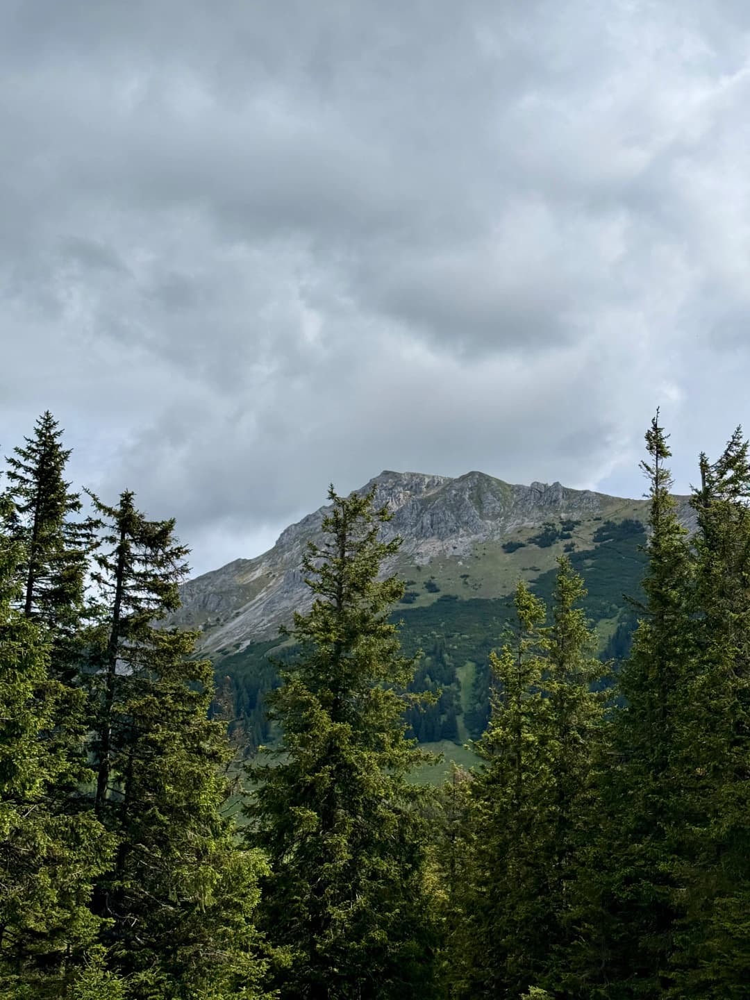
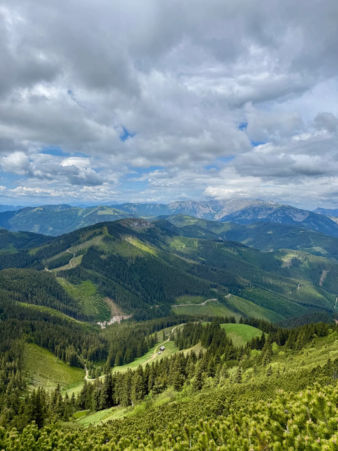
4 photographs
Next in the journal
Vienna to Bratislava Cycling