Hike · Rax, Austria
Hike to Karl Ludwig House
A first real mountain.
GPS route · start to finish
47.6758, 15.7233
Loading route map
Start Finish
Elevation profile
Preiner Gscheidhigh point 1,800 m8.2 km round
- Date
- 7 May 2023
- Distance
- 8.2 km
- Ascent
- +928 m
- Time on foot
- 5.3 h
Grade
Not graded
Conditions
Foggy
With
With two other friends
The write-up
As our first hike, it was quite hard for us.
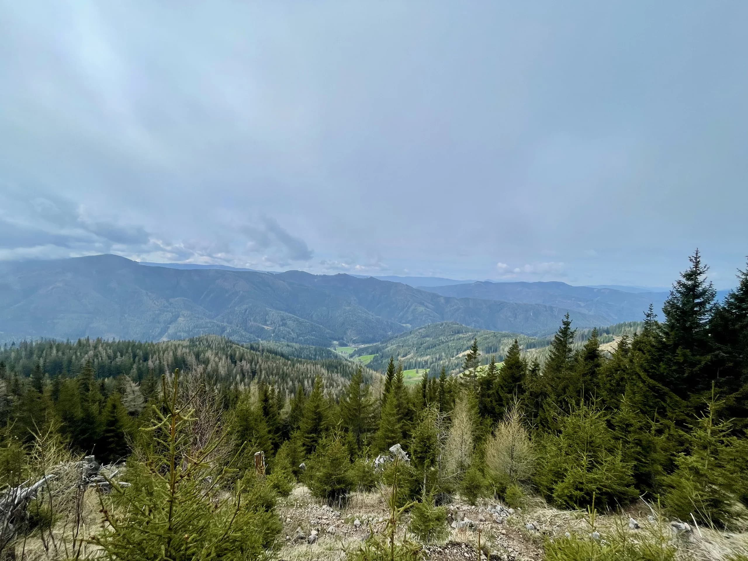
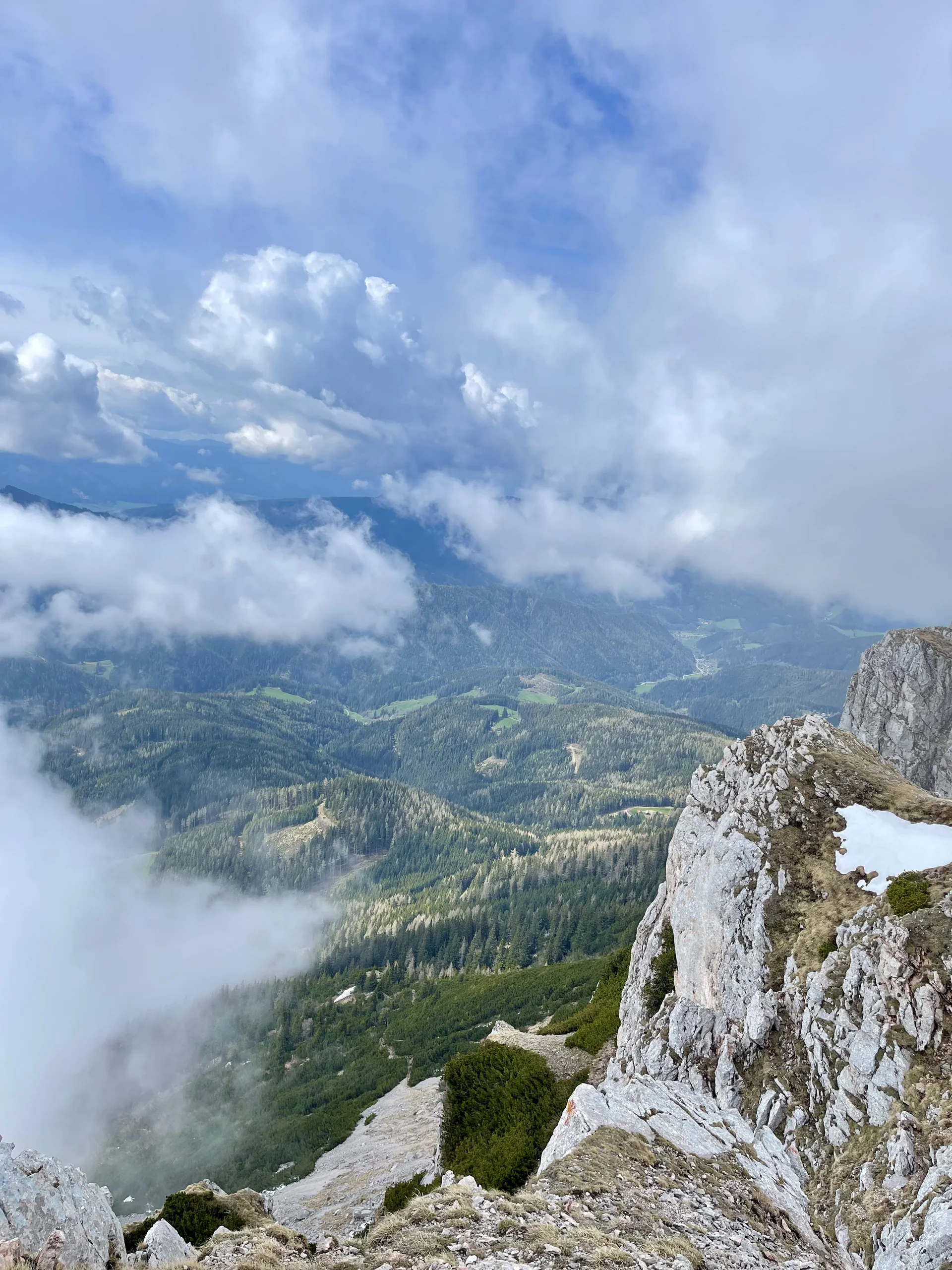
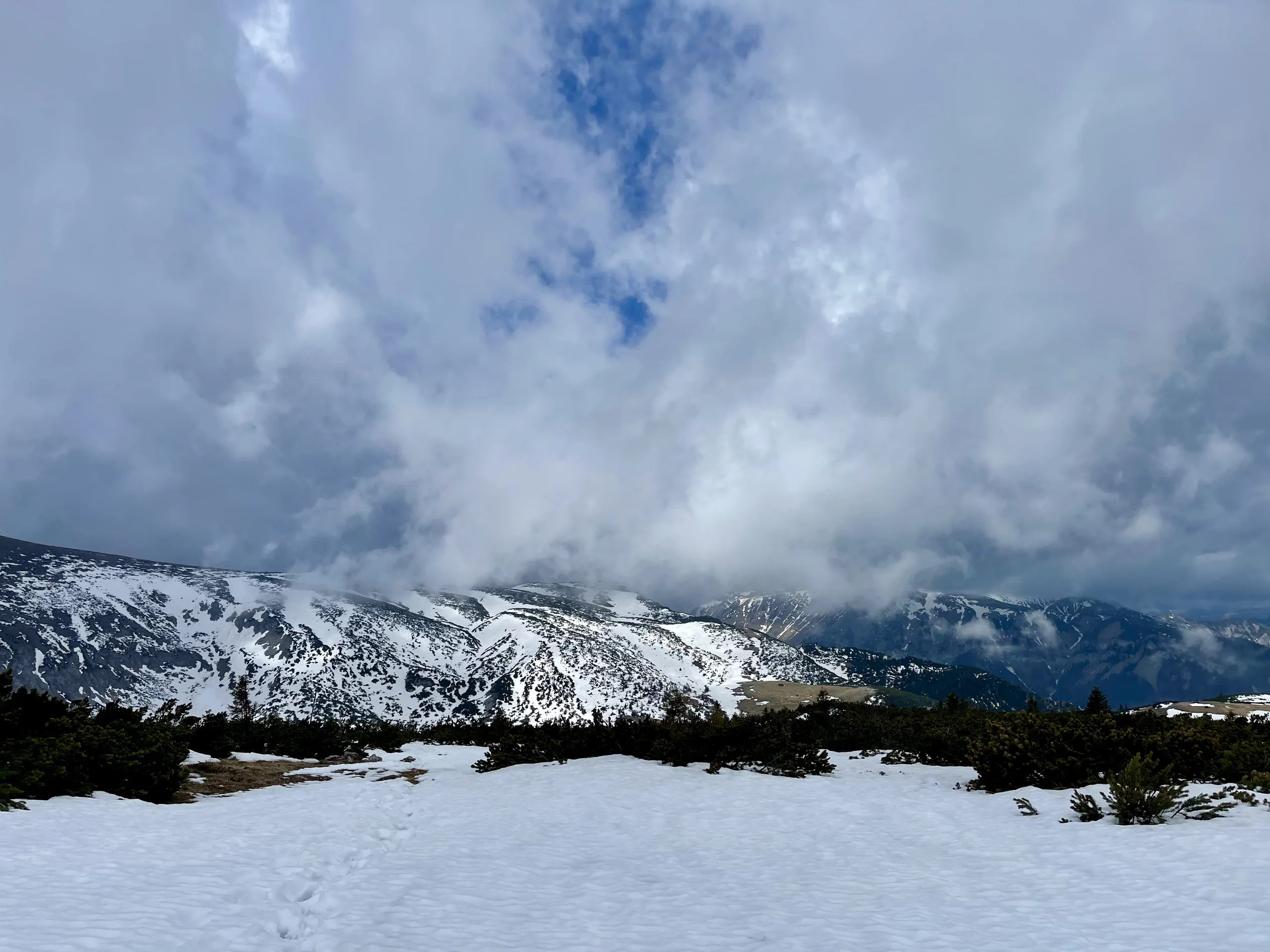
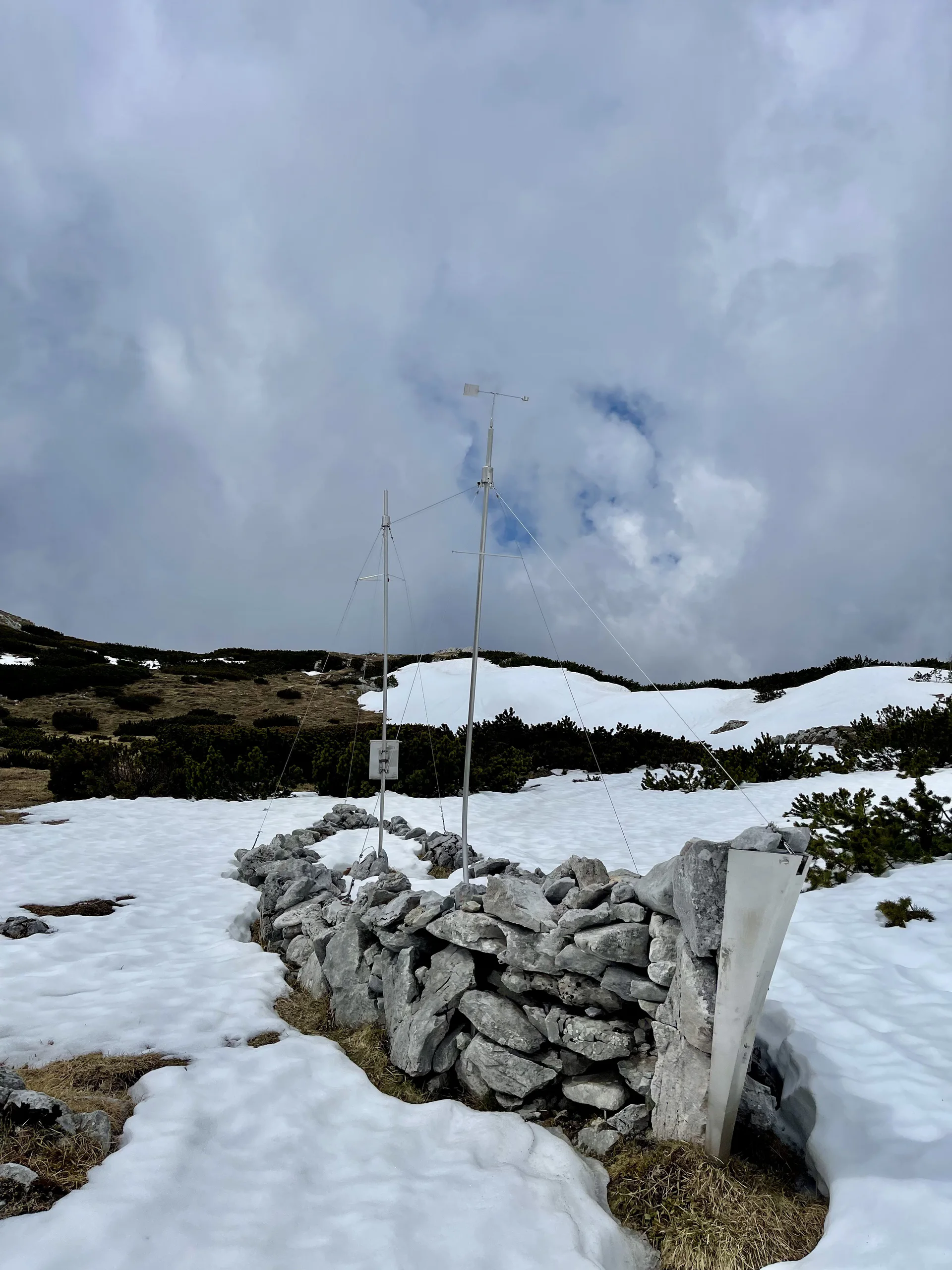
Fog made it even harder. Here I learned an important lesson that fog comes in seconds to the point where you can't see for more than three meters and that you always need to have the route downloaded for offline use.
Learned these things the hard way unfortunately.
4 photographs
Next in the journal
Hike to Kahlenberg