Hike · Vienna, Austria
Hike to Kahlenberg
Our first hike together with my wife.
GPS route · start to finish
48.2494, 16.3651
Route map
Start Finish
Elevation profile
last stop of tram line D (Nußdorf)high point 454 m6.6 km round
- Date
- 29 Dec 2020
- Distance
- 6.6 km
- Ascent
- +300 m
- Time on foot
- 2.31 h
Grade
Not graded
Conditions
Clear
With
With my wife.
The write-up
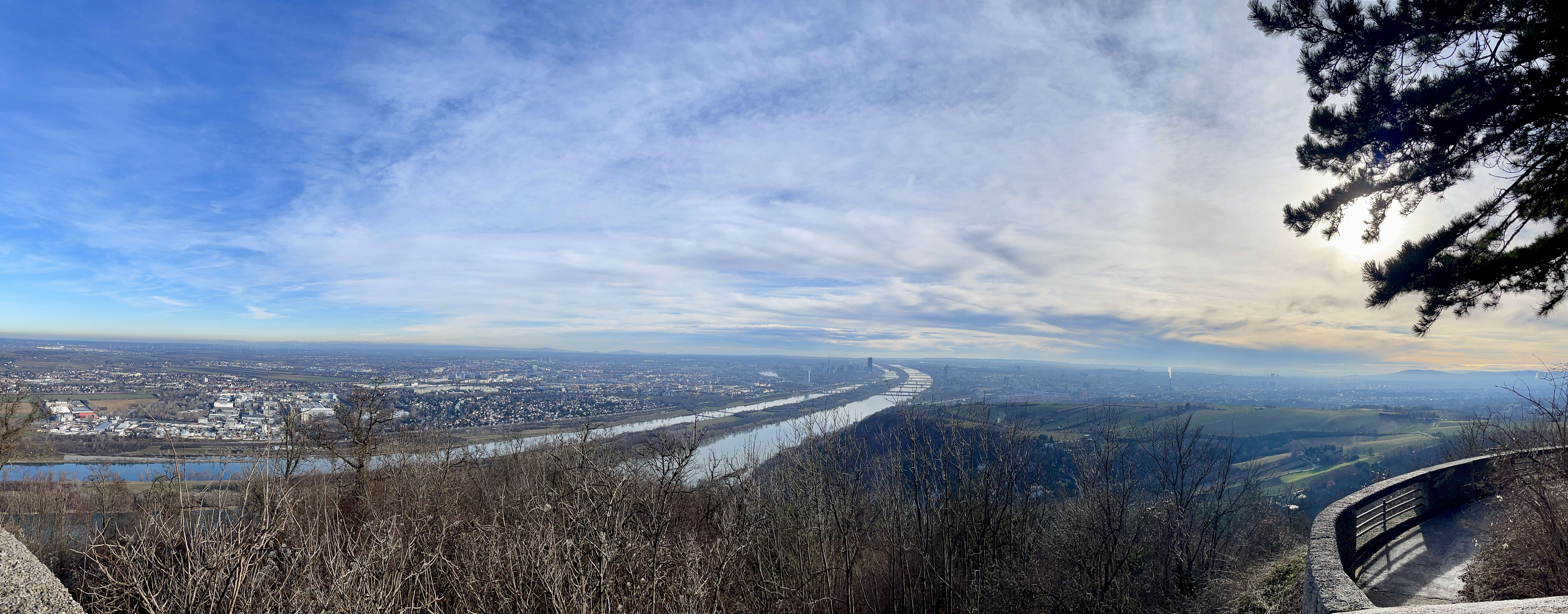
Pretty nice views along the way.
2 photographs

Next in the journal
Hike to Kahlenberg