Hike · Sharr Mountains, Kosovë
Rudoka 2660 m - Sharr Mountains
Highest mountain peak in Kosovë.
GPS route · start to finish
41.9642, 20.7123
Loading route map
Elevation profile
- Date
- 5 Aug 2026
- Distance
- 26.1 km
- Ascent
- +1,347 m
- Time on foot
- 12.5 h
Grade
Not graded
Conditions
Clear
With
With Selim and Ardi
The write-up
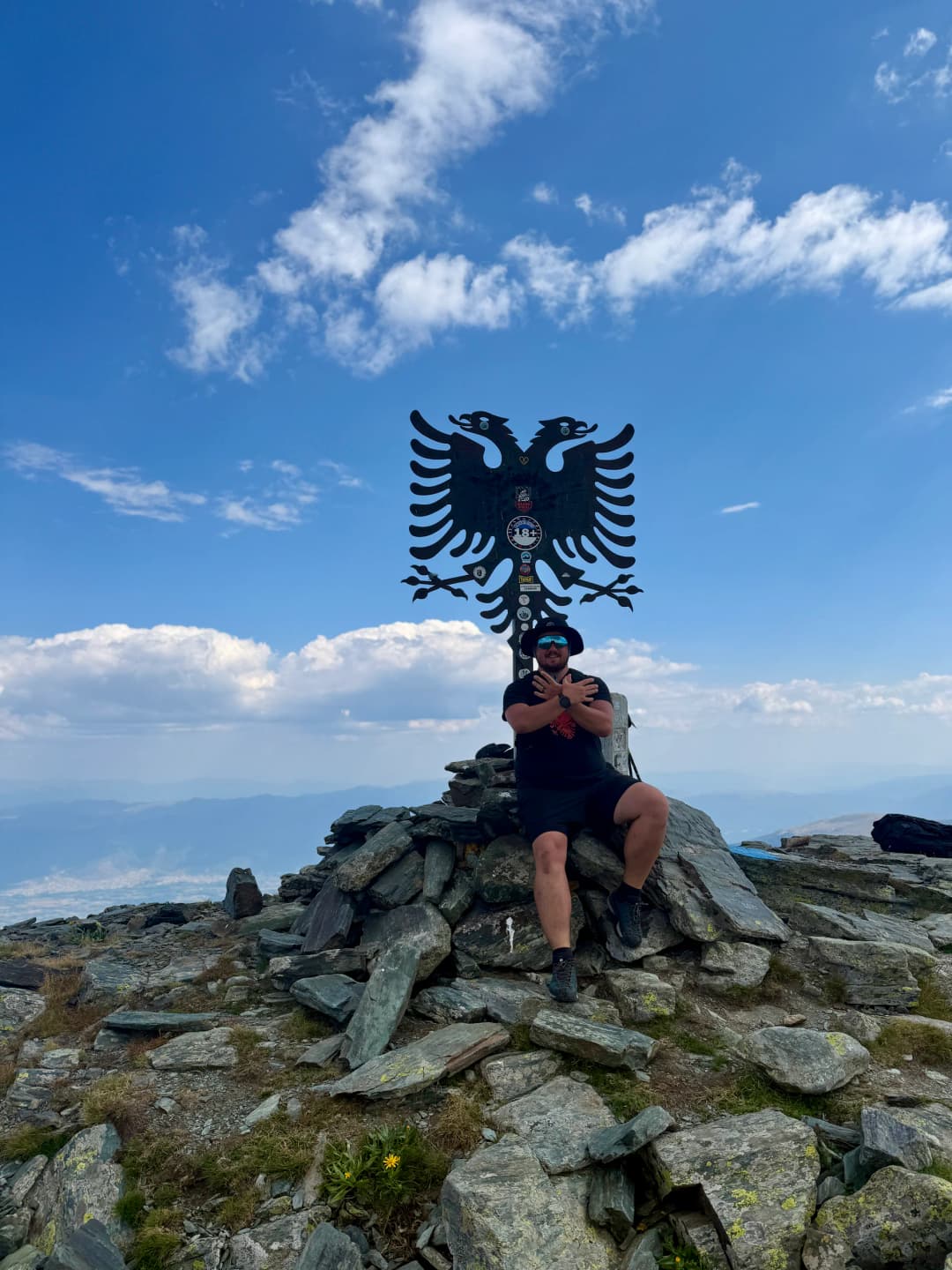
Rudoka or Maja e Njerit is the highest peak in Kosovë and since the start point was near us we wanted to go for it.
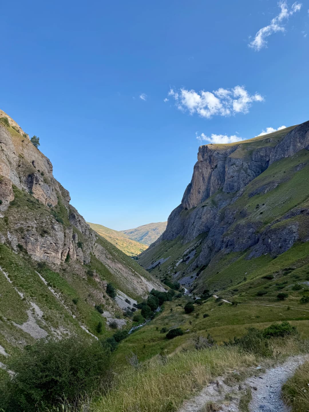
Started early from the Brod village. We used to hike and go with our families in these parts a lot as kids.
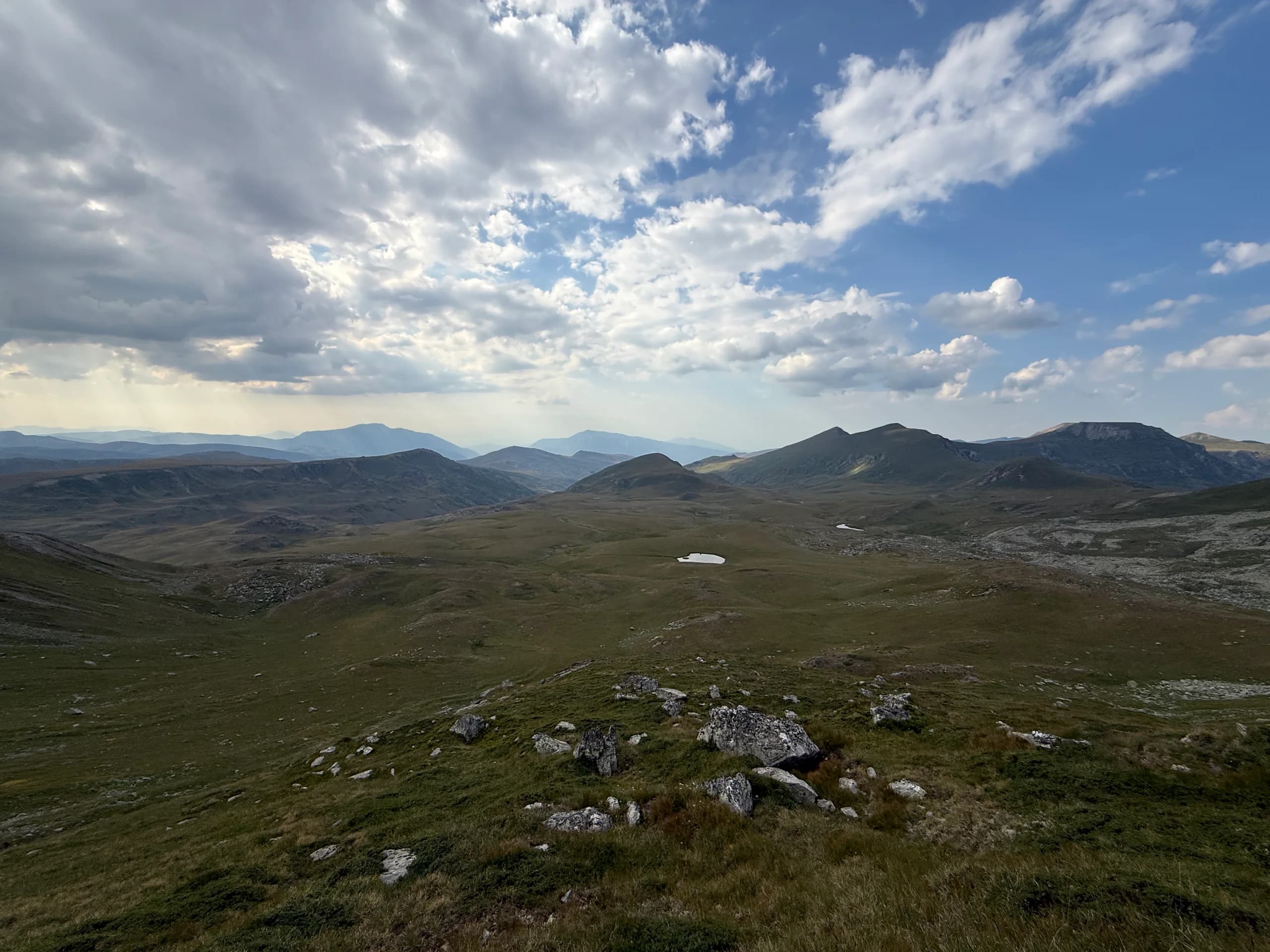
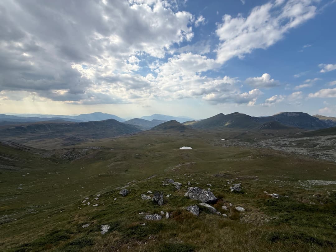
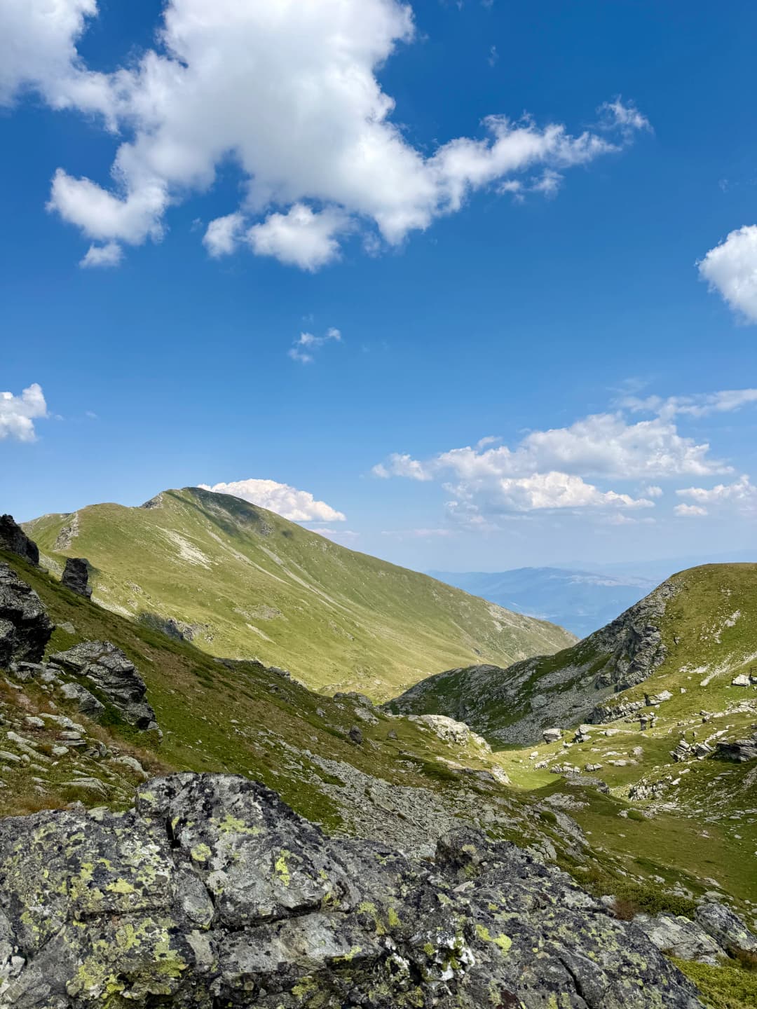
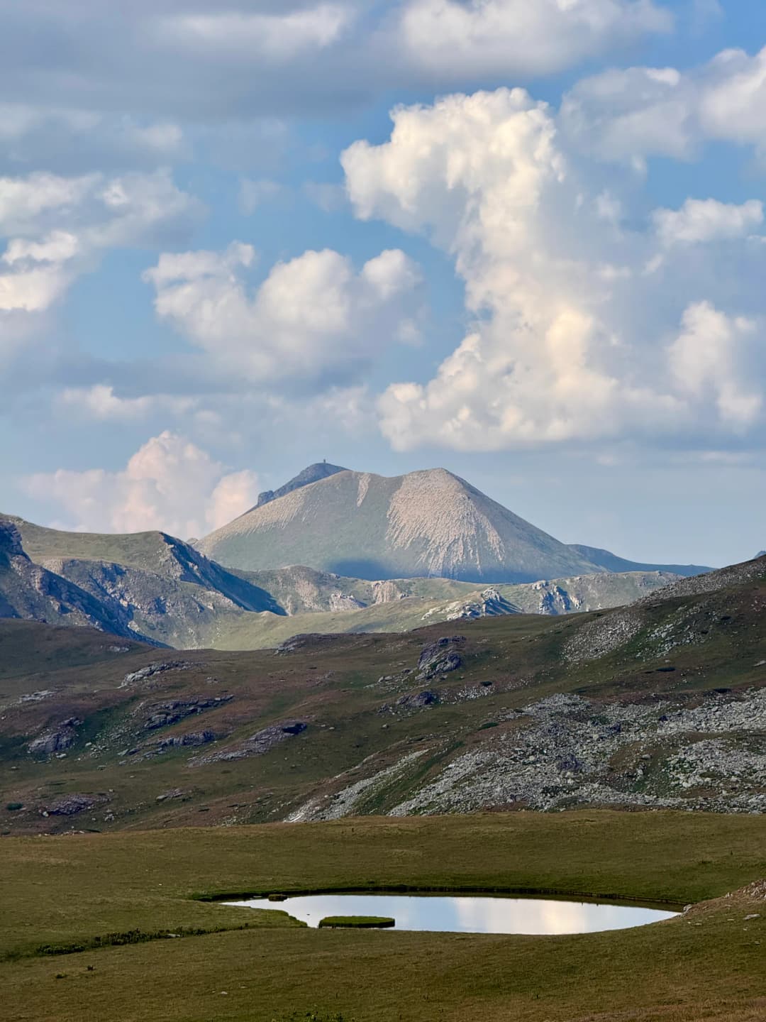
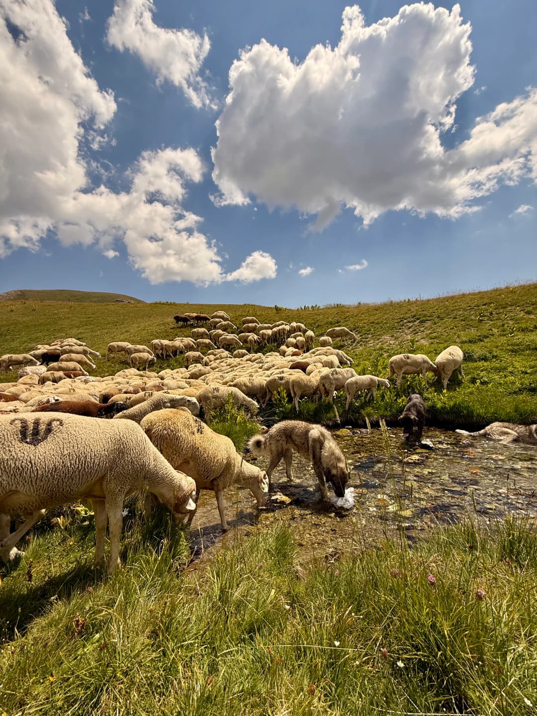
We continued or way and meet shepherds who invited us into their huts (stanet) and offered us coffee and drinks. After that we continued our way to the Qelepina waterfalls and to the spring where we eat lunch and refilled water. After that we continued to the alpine plateaus and then to the ridge where the border is. From the peak you can see Gostivar and the outskirts of Tetovo.
Then we went done from the other side through the glacial alpine lakes of Shutman and made our way back to the Brod Village.
Reaching the highest point in the country made this a special one and quite and achievement for us. Our max elevation.
Overall this was an amazing and nostalgic experience.
7 photographs
Next in the journal
Sharr Mountains - Pllajnik