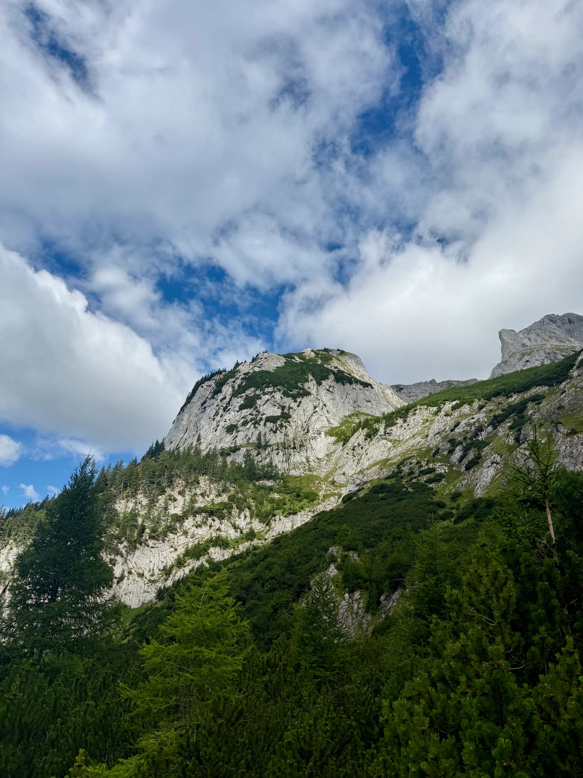
Hike · Hochschwab, Austria
Hochschwab 2277m
Our biggest hike yet.
GPS route · start to finish
47.5800, 15.1134
Loading route map
Elevation profile
- Date
- 18 Jul 2026
- Distance
- 21.3 km
- Ascent
- +1,440 m
- Time on foot
- 10.59 h
Grade
T3 · via ferrata A/B
Conditions
Clear & heavy rain on the descent
With
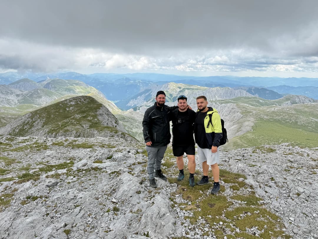
With Ardi and Selim
The write-up
This hike was long but great.
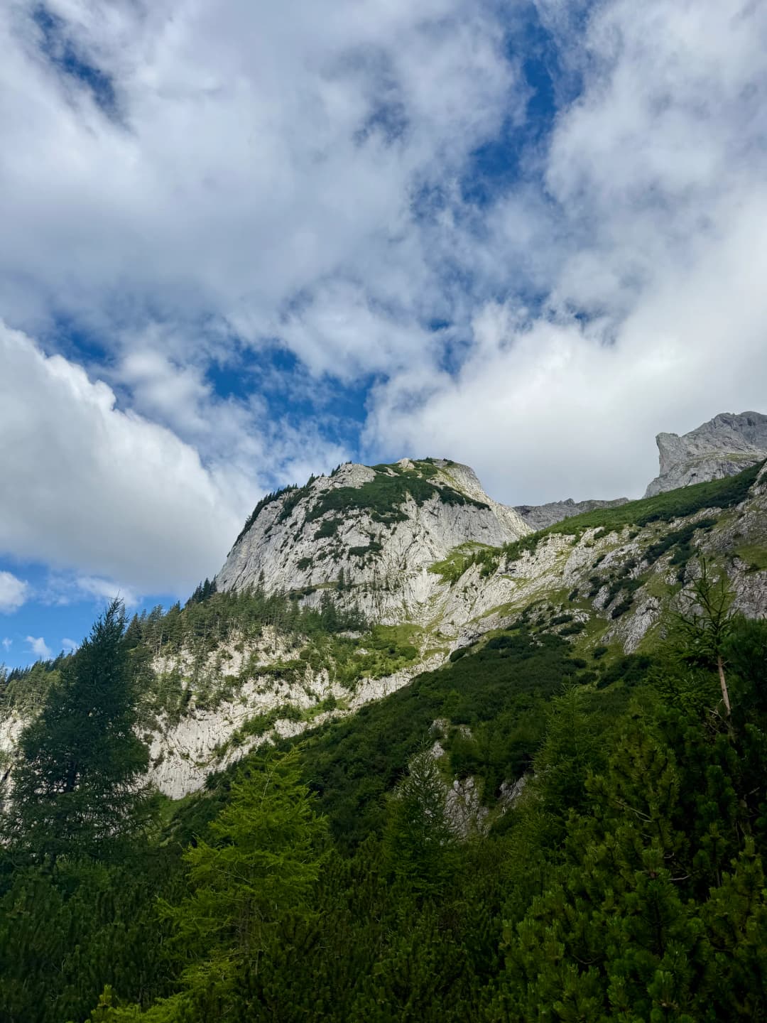
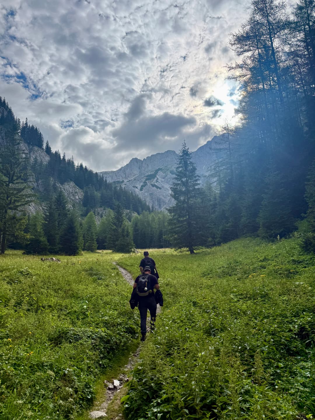
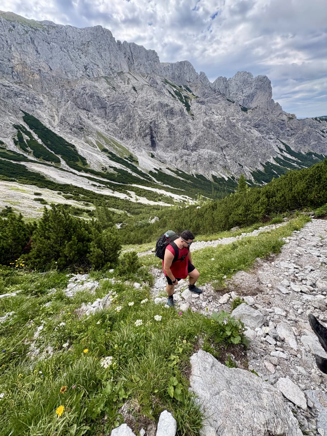
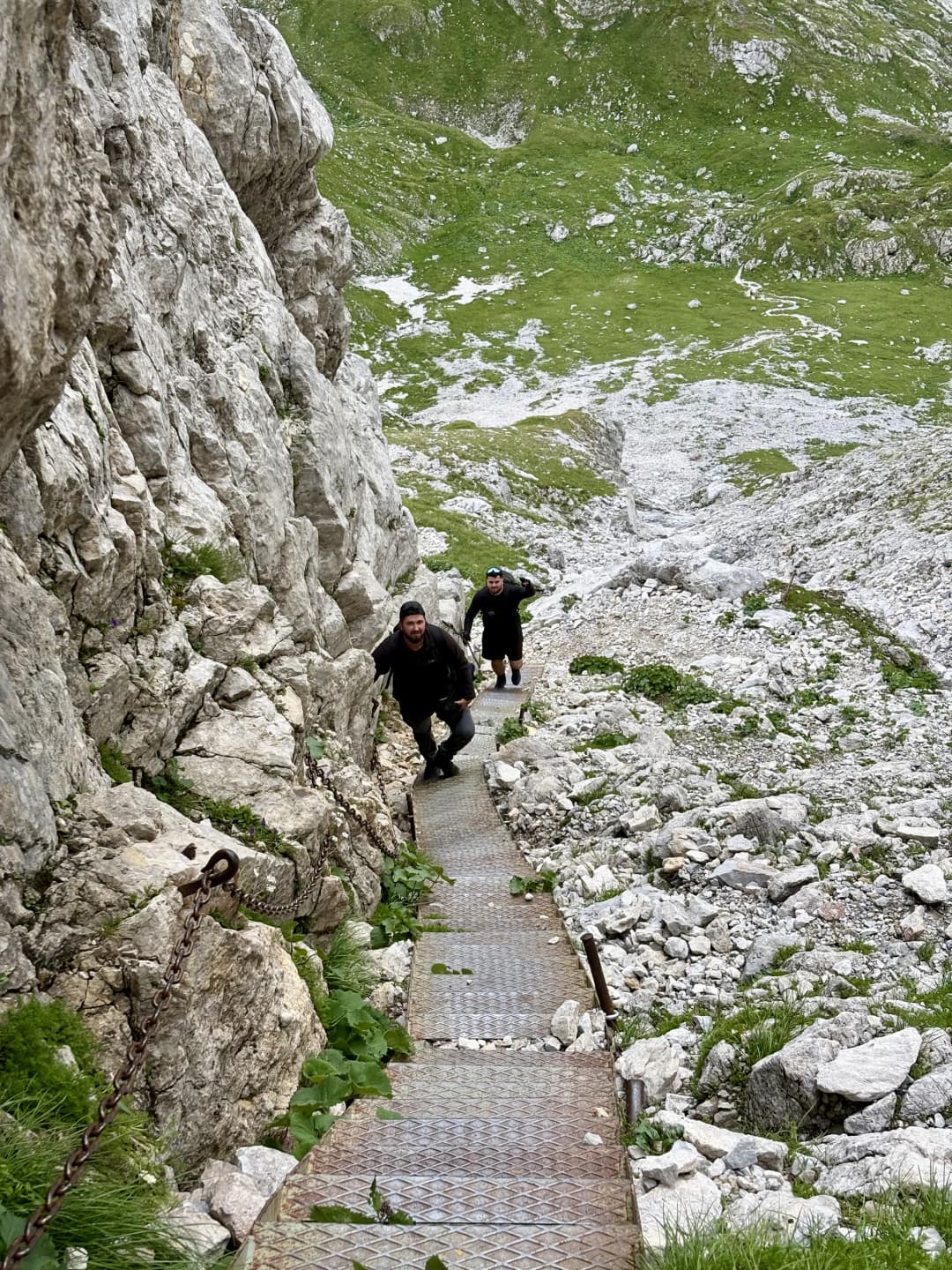
We started quite early from Vienna so we could start our ascent early. The hike started at Der Bodenbauer Hut and followed the trail into the Trawiestal, passing Trawiesalm before continuing towards G’hacktbrunn where we filled out water bottles. From there, the route became much steeper and led into the G’hackte, an A/B via ferrata with ladders, iron steps and cable-secured sections.
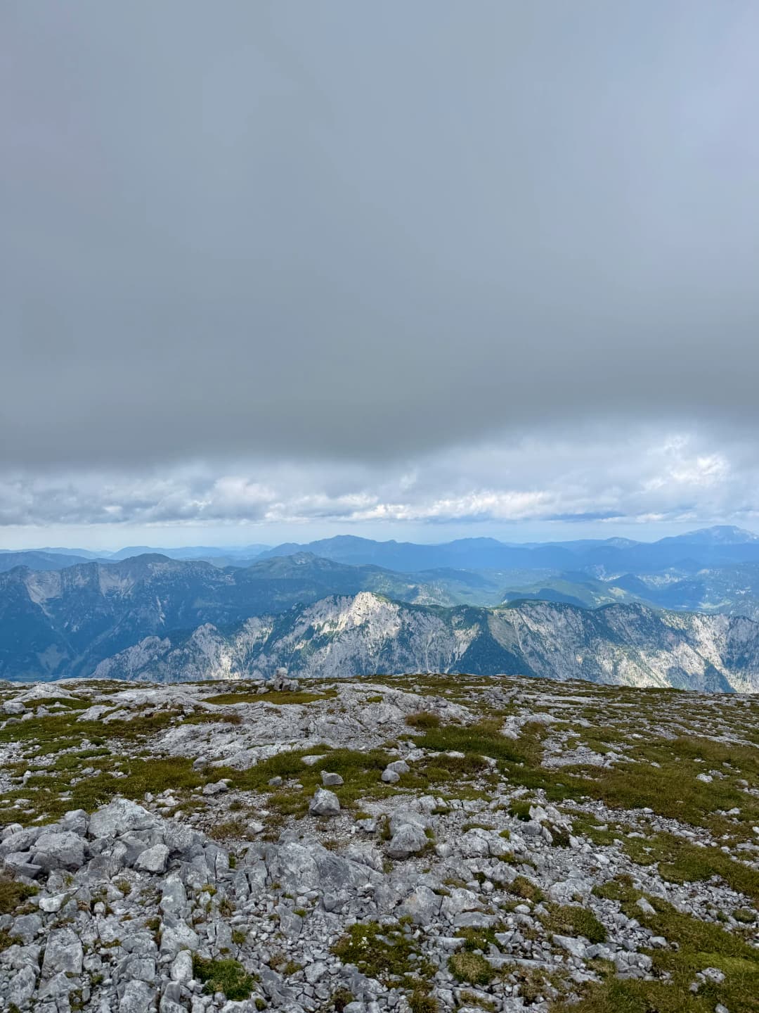
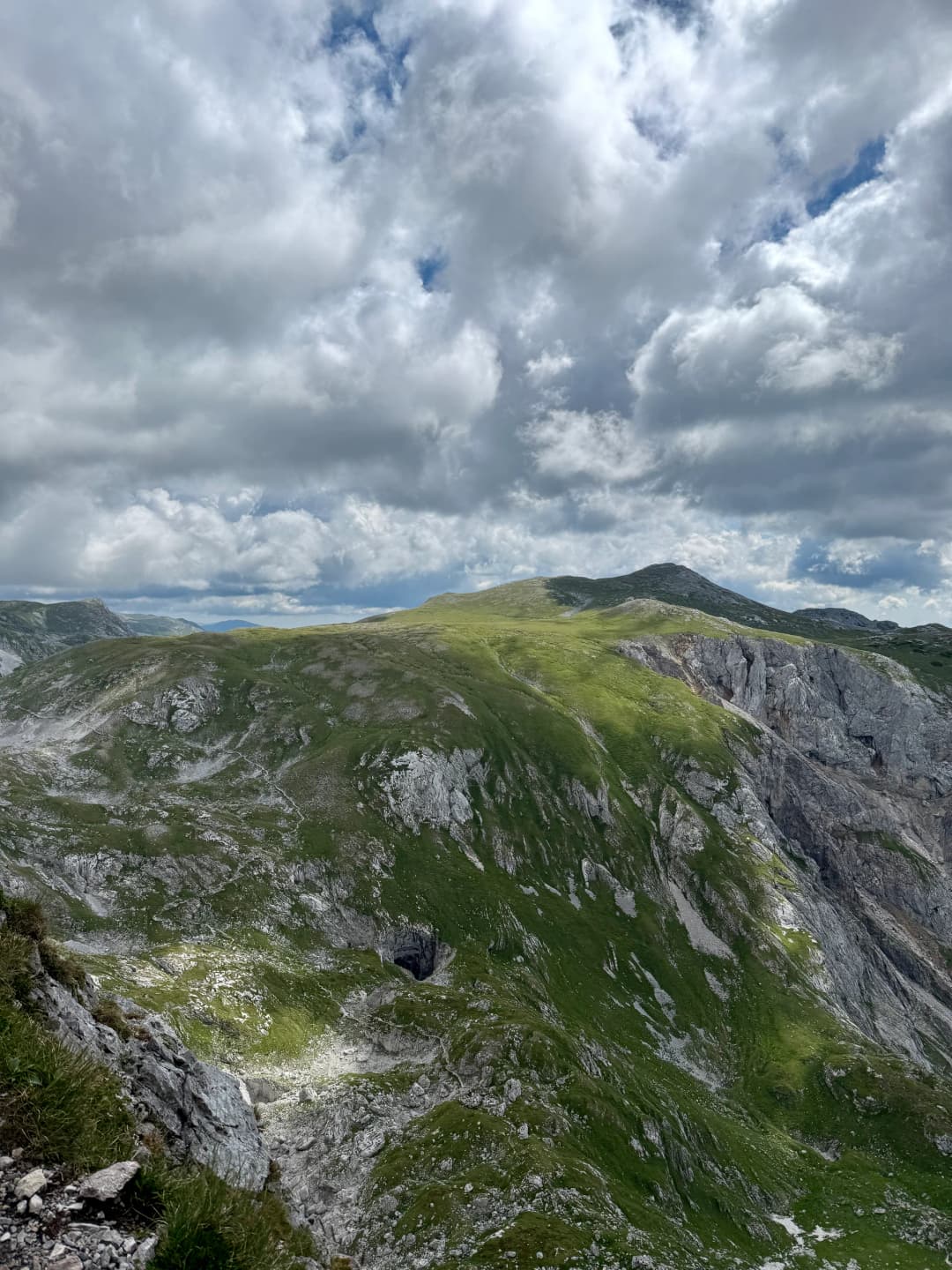
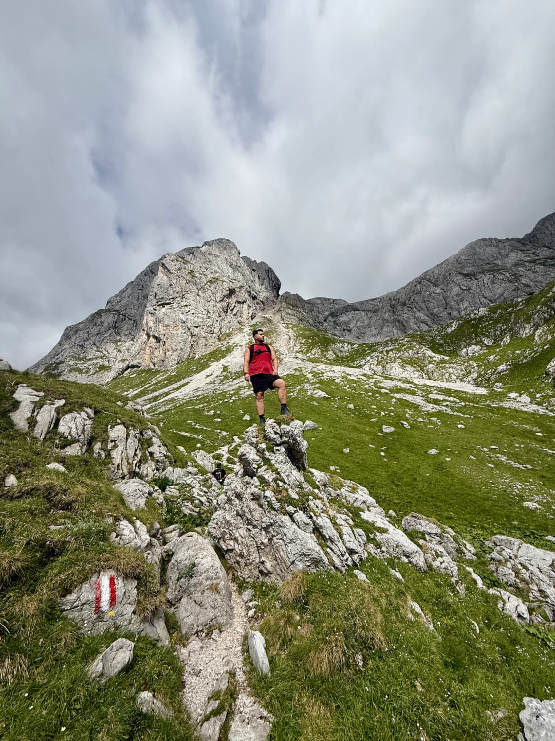
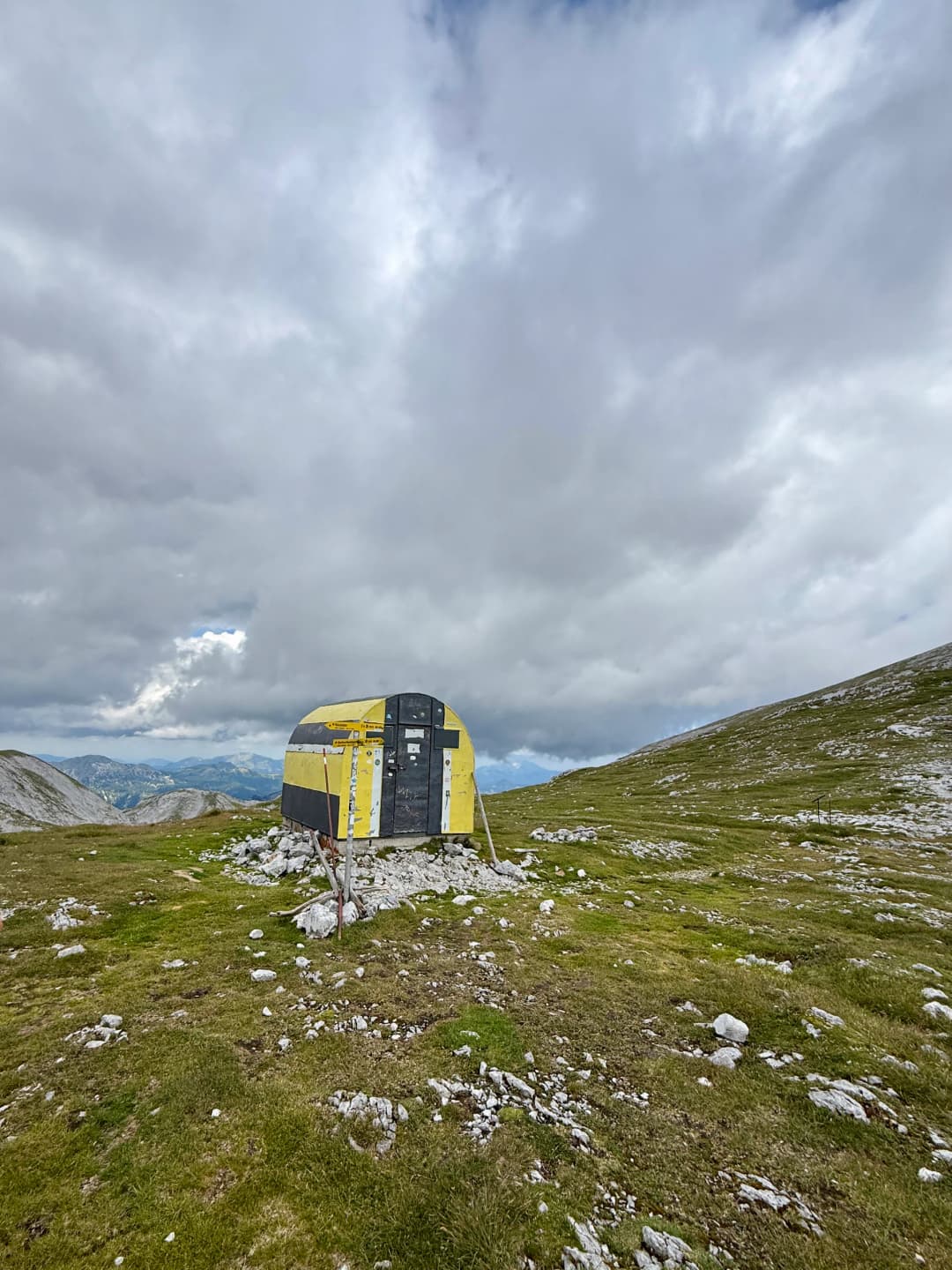
After leaving the G’hackte, we reached the Hochschwab plateau near the Fleischer bivouac and after making a pause there, we continued across the open terrain to the Hochschwab summit at 2,277 metres.
The descent was quite long (~13 km) and almost broke us. On top of that we got heavy rain after starting the descent and had to make another pause at the Fleischer bivouac until the rain stopped a bit before continuing west across the Zagelboden and Rauchtalsattel. The route descended through the Hundsböden and Hirschgrube, passing Baumstall and Häuslalm before continuing through Sackwaldboden and returning to Bodenbauer.
Overall we really enjoyed and liked this hike.
9 photographs
Next in the journal
Pittentaler Via Ferrata