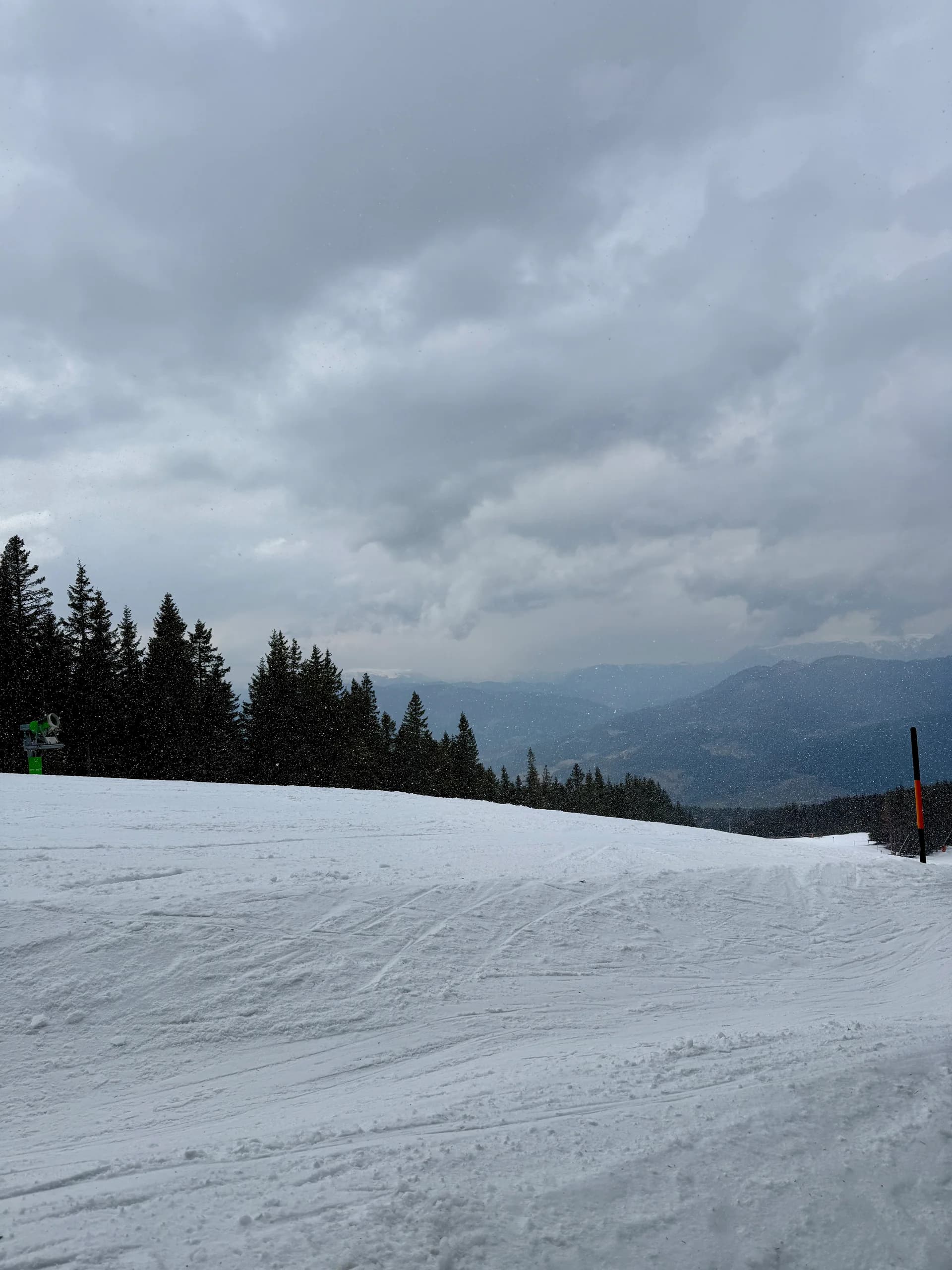
Hike · Steiermark, Austria
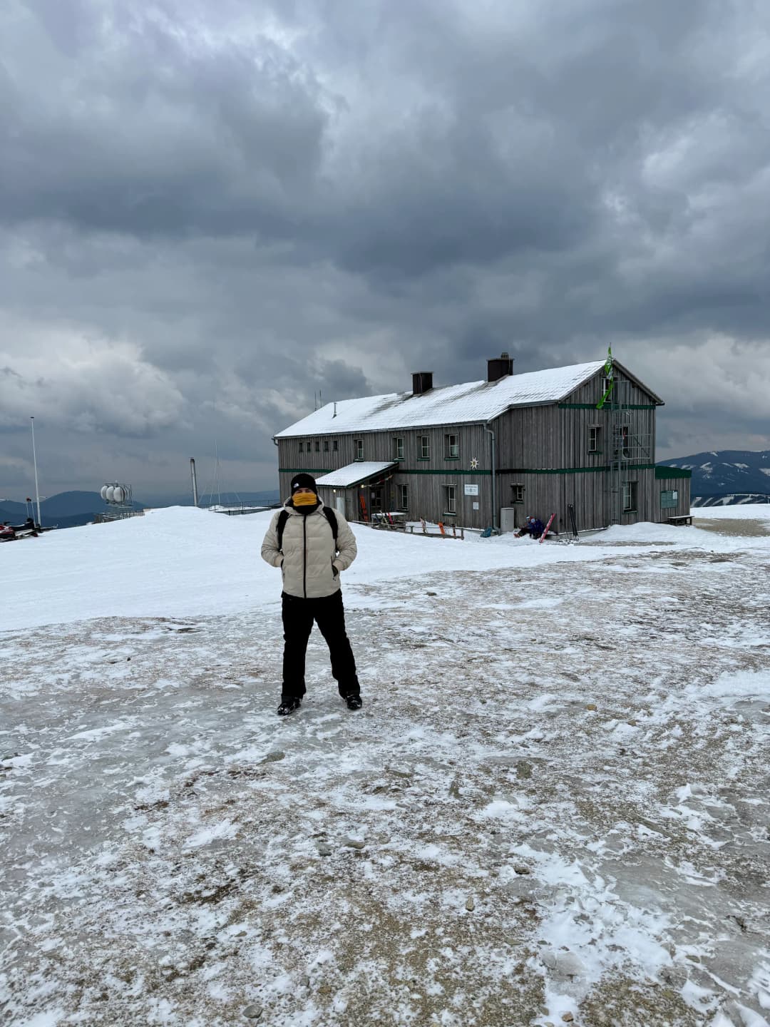
Hike to Alois Günther Hut
A cool one to start the season.
GPS route · start to finish
47.6148, 15.7577
Loading route map
Elevation profile
- Date
- 22 Mar 2026
- Distance
- 14.3 km
- Ascent
- +1,003 m
- Time on foot
- 6 h
Grade
Not graded
Conditions
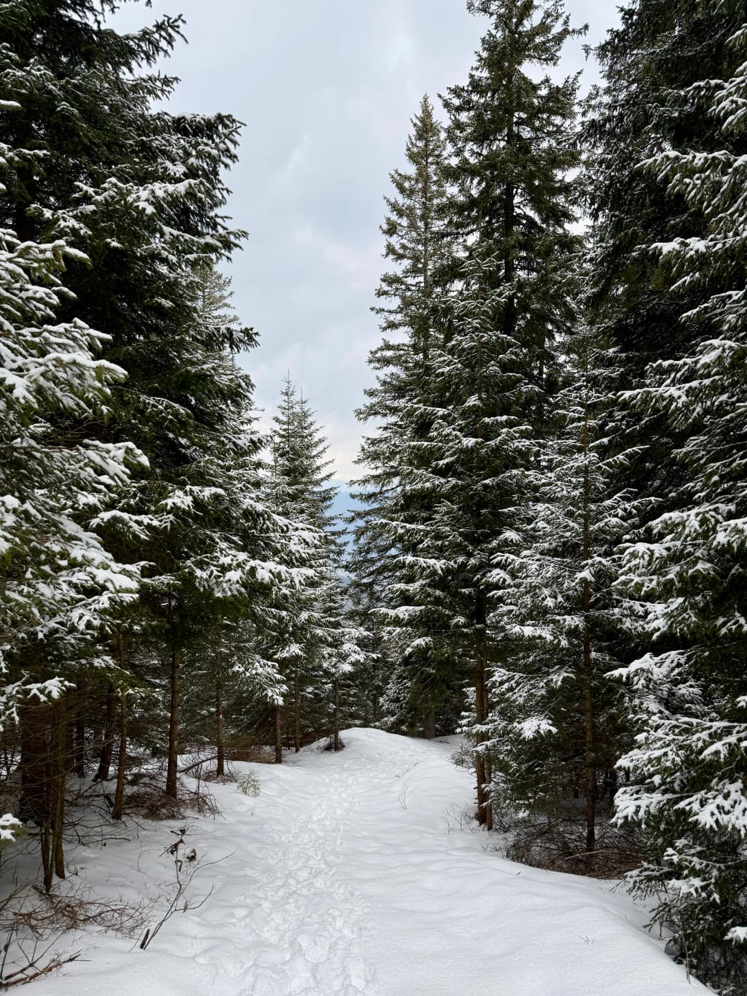
Clear but trail was with snow.
With
With Ardi
The write-up
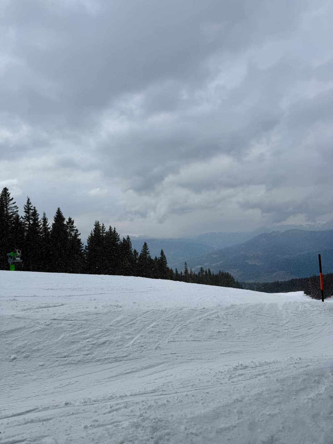
I was skiing in the region just two weeks before.
I was skiing in Stuhleck and wanted to rest a bit at the top of the skiing piste. There I discovered Alois Günther Hut. So I checked my phone for a route and found a pretty nice one and decided to do it together with Ardi.
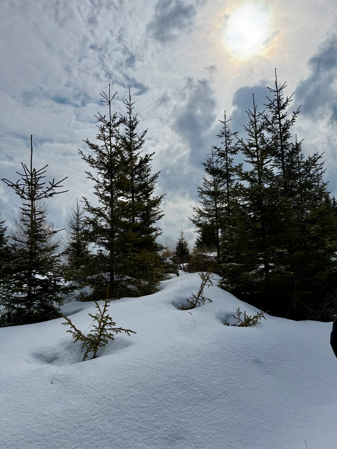
Initial plan was that this is going to be an easy to moderate spring hike. But we were lucky to bring extra clothes because it turned to late winter hike pretty quickly.
First on hard snow one meter deep and then on knee deep soft snow.
But we reached the peak and hiked back down in one piece.
4 photographs
Next in the journal
Skiing in Stuhleck